Heavy tropical moisture parked over Texas on October 2, 2026, turned familiar Houston commutes into high-stakes decisions. Harris, Montgomery, Fort Bend, and neighboring counties saw flood watches and flash flood warnings as storms dropped multiple inches in a single day, with western Harris and southwestern Montgomery reporting six to eight inches in twenty-four hours. San Antonio, Austin, Dallas-Fort Worth, and South Central Texas faced the same pattern: pavement that normally drains in minutes can sheet water across lanes, fill underpasses, and swallow front bumpers before a driver realizes the depth.
When staying parked is the safest move
The National Weather Service and local emergency managers have repeated the same guidance for decades because it works: if a flash flood warning covers your route, treat nonessential driving as off the table until the warning expires or you confirm the corridor is open. That matters most during evening commutes, when rain reduces headlight reach and standing water hides lane markings, curbs, and potholes.
Official flood safety messaging also stresses that more than half of flood-related drownings in the United States involve a vehicle entering water that looked passable. The National Weather Service Turn Around Don't Drown® page notes that just six inches of fast-moving water can knock an adult off their feet, about twelve inches can float many passenger cars, and roughly two feet of moving water can carry away SUVs and pickups. Those numbers are not theoretical on Gulf Coast freeways—they describe what happens at freeway dip crossings, service-road dips, and bayou outlets after intense rain bands.
Why Houston and I-45 corridors flood faster than the radar suggests
Houston's metro sits on flat coastal plain clay. When rain falls faster than storm drains and bayous can accept flow, water pools on frontage roads and collects at low points on interstates long before creeks reach official flood stage on a map. Interstate 45 from Galveston County through downtown and north toward The Woodlands crosses dozens of those low points. Interstate 10 west of downtown, U.S. 59/69, State Highway 288, and the 610 Loop share the same risk profile: a short burst over one watershed can close a single underpass while the rest of the network still looks merely wet.
Forecast offices serving the region warned that another one to three inches could fall on already saturated ground, with isolated totals approaching six to eight inches in the heaviest cells—the kind of repeat training that keeps the same exit ramps underwater through multiple rush hours. Drivers coming from drier suburbs into Harris County often hit the wall of water at the county line with no gradual buildup, which is why checking conditions for the entire trip matters, not just the garage door sky.
Before you turn the key: sources that beat guessing
Start with the Houston-Galveston National Weather Service office alerts for your county and any county you will cross. Pair that with the Texas Department of Transportation traveler map at DriveTexas.org, which lists high-water locations, lane closures, and incidents reported by field crews. Local television and county emergency pages often map barricaded underpasses faster than a generic navigation app refreshes.
If you must travel for work, a shift change, or a medical appointment, build a primary route that stays on elevated mainlanes and frontage roads you know, plus one backup that avoids known dip crossings you have seen flood before. Tell someone which route and exit numbers you chose; if you stall, responders search along the path you said you would take.
On the road: reading water without trusting your memory
Night and heavy rain remove the visual cues drivers rely on in dry weather. Treat any lane with reflective shimmer at bumper height as a stop line, not a slowdown. Barricades, cones, and police flares mean the pavement may be gone under the water—Federal Highway Administration guidance for flood incident signs exists because collapsed roadbeds are common at culvert mouths.
If traffic is moving, do not follow the vehicle ahead into water. Larger trucks displace more water and ride higher; a sedan following a lifted pickup into the same hole can ingest water through the air intake within seconds. When in doubt, pull onto high frontage pavement, a parking garage ramp, or a lit shopping center lot and wait. Hazard lights warn following drivers; blocking a travel lane without a barrier creates secondary rear-end crashes in low visibility.
If water reaches the cabin or the engine stalls
Abandon the vehicle if water is entering the cabin or rising around the doors—belts and electronics fail unpredictably once seals leak. Move to the roof only if water is still shallow and traffic around you has stopped; otherwise, work toward the nearest guardrail or barrier on the upstream side of the flow, away from floating debris and submerged cars.
Do not restart a hot engine that ingested water. Hydrolock can destroy internal components in one crank. Once you are safe, photograph the location, depth marks on the body if visible, and the odometer before any tow. Insurers and mechanics use that timestamp chain to separate storm flood from later damage.
After the storm: paperwork and hidden damage
Even cars that never stalled can take on water in carpets, spare-tire wells, and low-mounted control modules. Musty odor within forty-eight hours, fogged instrument clusters, or warning lights that appear days later are signs to schedule inspection before long highway trips. Salvage and parts-swap history also spikes after regional floods; if you replace a flood-damaged vehicle, match the title brand and VIN history against Texas Department of Motor Vehicles records before you sign.
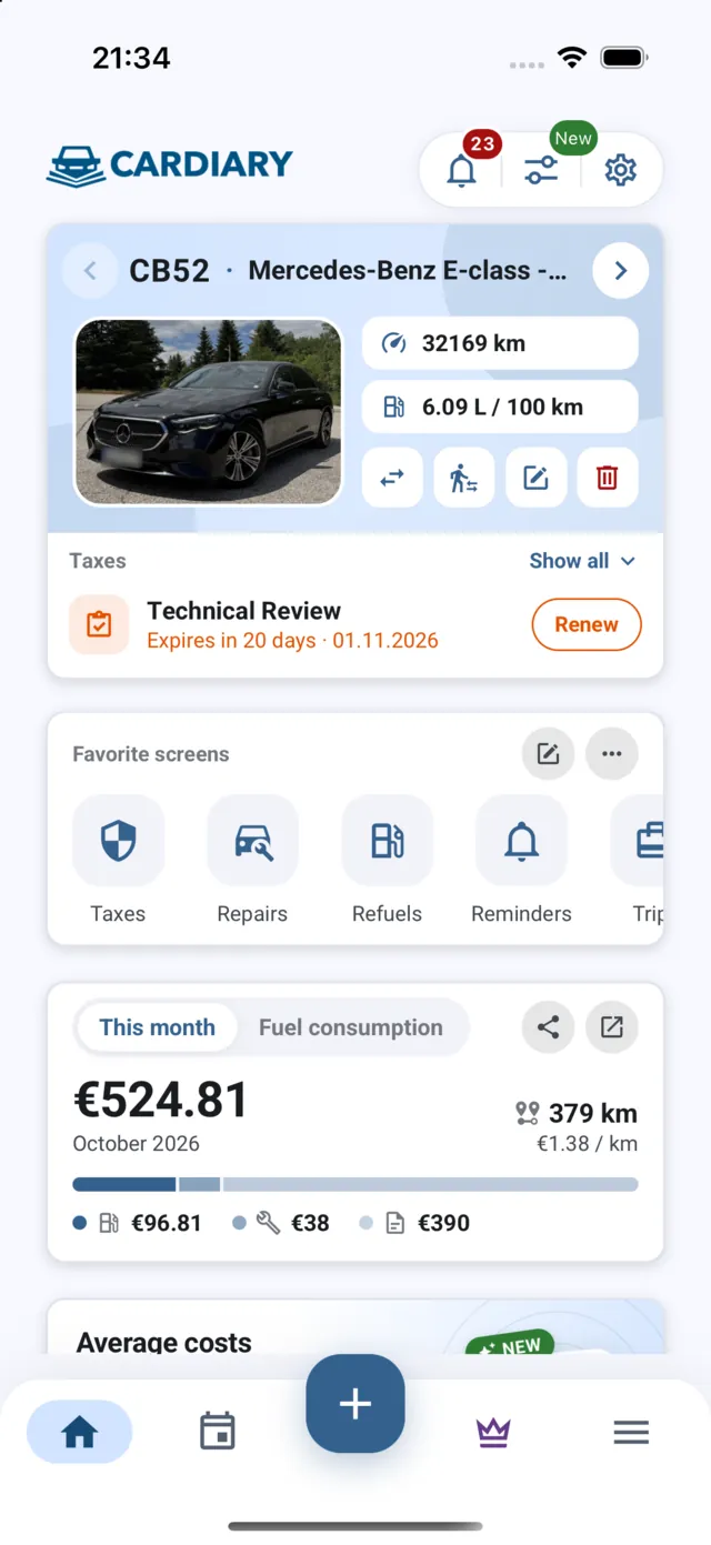
Logging each post-storm inspection, fluid change, and electrical check in CarDiary gives you a dated service record that is easier to hand an adjuster or shop than a folder of receipts scattered across email.
Weekend travel toward the Hill Country or the Gulf Coast
Moisture from the same weather pattern is expected to spread toward Louisiana, Mississippi, Alabama, Georgia, and Florida through the weekend, with Gulf Coast sections at risk of repeated heavy bands. If you planned a Friday night drive to river parks, coastal campgrounds, or festival towns, verify both ends of the trip and every county along U.S. 290, Interstate 10, or Interstate 35—saturated Hill Country soils send sudden runoff onto farm-to-market roads that do not appear on a Houston-centric alert list.
When warnings drop and pavement dries, speeds rise faster than drainage systems finish clearing debris. Give maintenance crews space on shoulder lanes and respect reduced limits near still-barricaded ramps. The first dry evening is when overconfidence—not rain—causes the next round of crashes.