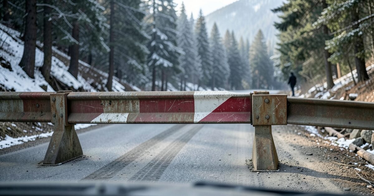
The Highway 180 Cedar Grove closure takes effect at noon on November 13, so a drive up State Route 180 toward Cedar Grove in Kings Canyon National Park now ends at a barrier. Caltrans closes the road for the winter, and the closure runs until an estimated mid-April reopening. This guide explains where the closed stretch begins, how to check it before you leave Fresno or the Central Valley, and what a winter closure changes for the car you plan to drive.
Where the Highway 180 Cedar Grove closure starts and ends
The closed section runs on State Route 180 from the Hume Lake Road junction to Roads End, the end of the road in the Cedar Grove area. Caltrans announced the closure together with Sequoia and Kings Canyon National Parks and the Sequoia National Forest. The announcement says the road is expected to reopen in mid-April 2027, weather permitting.
That reopening date is an estimate, not a promise. Last season the Cedar Grove section reopened on April 24, 2026, according to a local news report from April, so the spring date moves with snowpack and crew work. A seasonal closure like this is planned to last months, which means a plan that assumes a quick reopening will fail.
Can I still drive to Cedar Grove this winter?
Not on State Route 180 once you pass the Hume Lake Road junction. The closure covers the whole stretch to Roads End, so a car, SUV or camper cannot reach Cedar Grove by that road until the reopening. Anyone with a reservation in the Cedar Grove area should contact the park before the trip instead of relying on an older confirmation.
Picture a driver in Fresno with a 2019 Honda CR-V and a Saturday plan to reach the Cedar Grove trailheads. The night before, the driver checks a map app that still shows the route as open, because the app has not updated its closure data. At the junction the driver finds the barrier, turns around, and loses the morning. A five-minute check on Caltrans QuickMap would have shown the closure before leaving home.
How to check the Highway 180 closure before you leave
Check three sources in this order before you put the car in gear. The state map changes fastest, and the park page adds context about the rest of the park.
- Open Caltrans QuickMap at quickmap.dot.ca.gov and zoom to State Route 180 in Fresno County. Look for closure markers on the Hume Lake Road section and any notes about the Cedar Grove end.
- Read the road information page from Sequoia and Kings Canyon National Parks at home.nps.gov/seki/planyourvisit/road-information.htm, which lists current closures for both parks.
- Check the forecast for the elevations on your route, not only the Fresno forecast, because the road climbs quickly out of the valley floor.
- Confirm the status again on the morning you leave, since a weather-driven change can happen overnight.
What the winter closure means for your car before any mountain trip
Even when a route is open, a winter drive into the Sierra asks a lot of the car. Start with the battery, because cold reduces its available power. A battery that starts fine in a warm Fresno October may struggle at a cold trailhead parking lot before sunrise.
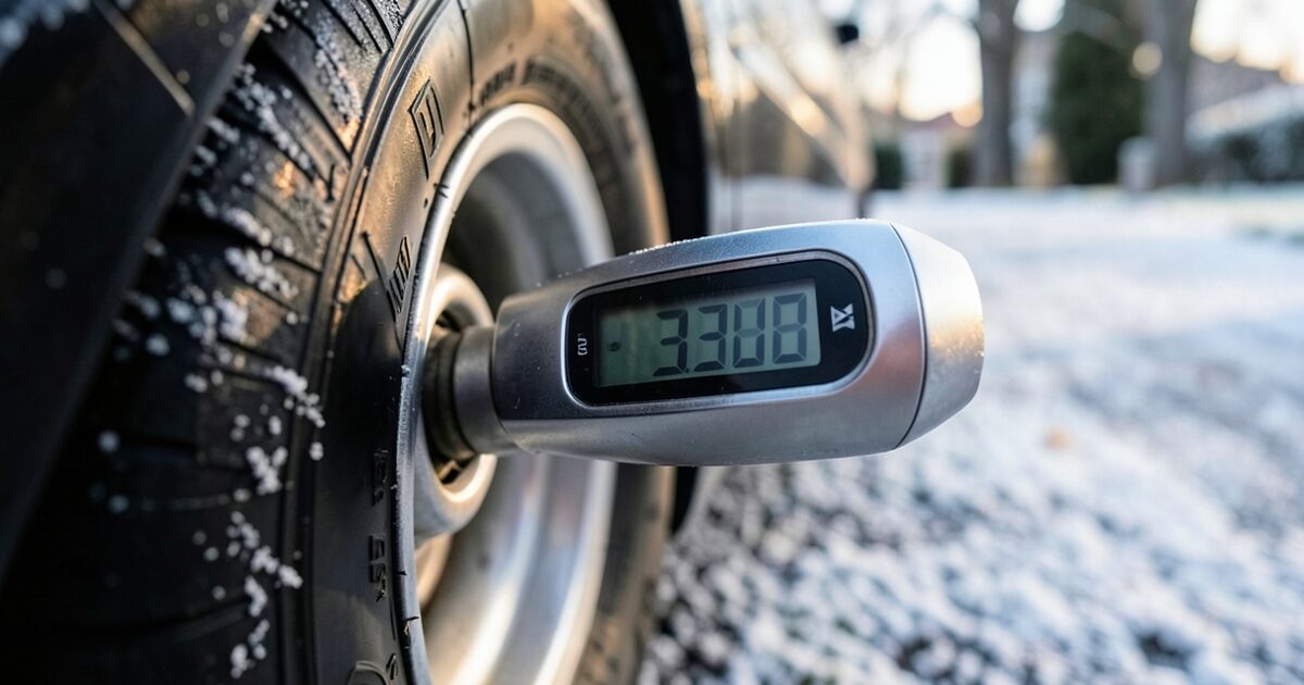
Look at the tires next. Many tire makers recommend replacing winter tires near 4/32 of an inch of tread, and the penny test is a quick way to check the depth at home. Check the wiper blades and the washer fluid rated for low temperatures too.
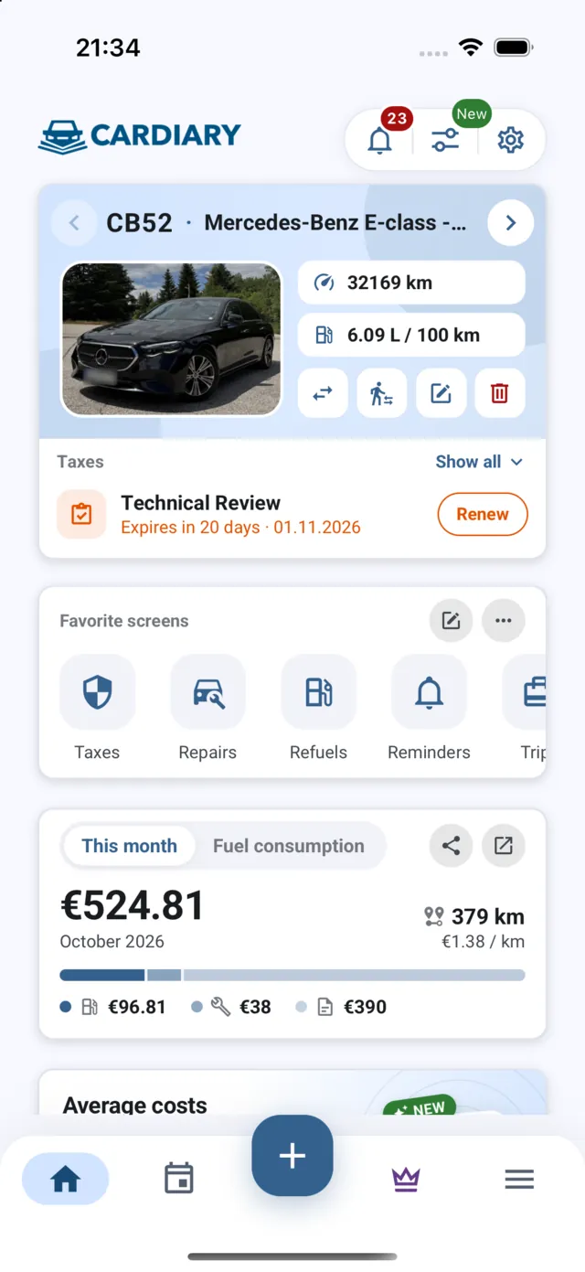
If a trip uses another Sierra route with chain controls, the car must carry chains and the driver must meet the posted requirement, which can differ from the park road. A CarDiary vehicle profile can keep the tire, battery and fluid service dates side by side, so the pre-trip check starts from a record rather than memory.
Mistakes drivers make with a seasonal park road closure
The most common mistake is treating a seasonal closure as temporary. A closure with an April estimate is planned as a long shutdown, not a short delay. The second mistake is trusting the date alone. The reopening is weather permitting, so it can slip later, and an early opening is never a reason to assume the road is clear.
Drivers also forget that the closure is not the only hazard. Access roads can carry snow, ice on shaded curves, and limited services. A third mistake is driving to the barrier just to see the conditions for yourself. Turning around on a narrow mountain shoulder puts you and the road crews at risk, so use the state and park sources and decide from home.
Who this closure affects in Fresno and the Sierra foothills
The people most affected are day-trip drivers who planned to see Cedar Grove, campers and cabin renters with a reservation in the area, and anyone who used State Route 180 as the route to the park from the valley. Residents who commute in the valley may not notice the closure in daily traffic, but weekend visitors will meet it first.
Delivery drivers, contractors and park staff may use the road for work, and their access follows the closure rules rather than the public schedule. If you drive for a living in the Sierra, save the closure notice on your phone and check it at the start of each shift. Map apps can keep showing the old route for days, so a dated state notice is the document to trust.
Frequently asked questions about the Highway 180 Cedar Grove closure
When does the Highway 180 Cedar Grove closure begin?
The closure begins at noon on November 13, according to Caltrans and its park partners. The road is expected to reopen in mid-April 2027, weather permitting.
Where does the closed section start?
It starts at the Hume Lake Road junction on State Route 180 and continues to Roads End in the Cedar Grove area. Check QuickMap for the current closure markers before you drive.
Can I reach Cedar Grove with chains during the closure?
No. The closure covers the whole stretch to Roads End, so chains do not provide access while the road is closed. Chain requirements apply to other open routes.
Where can I get the latest status?
Use Caltrans QuickMap at quickmap.dot.ca.gov and the Sequoia and Kings Canyon National Parks road information page. Check both on the morning of your trip.