If you plan to drive into Arizona's high country this winter, the first question is whether the road will still be open when you get there. The Arizona Department of Transportation (ADOT) posted its seasonal closure notice on November 9, 2026, saying five high-country highway segments will close for the season because of snow and ice. For a driver, that notice changes the route, the timing, and sometimes the whole trip.
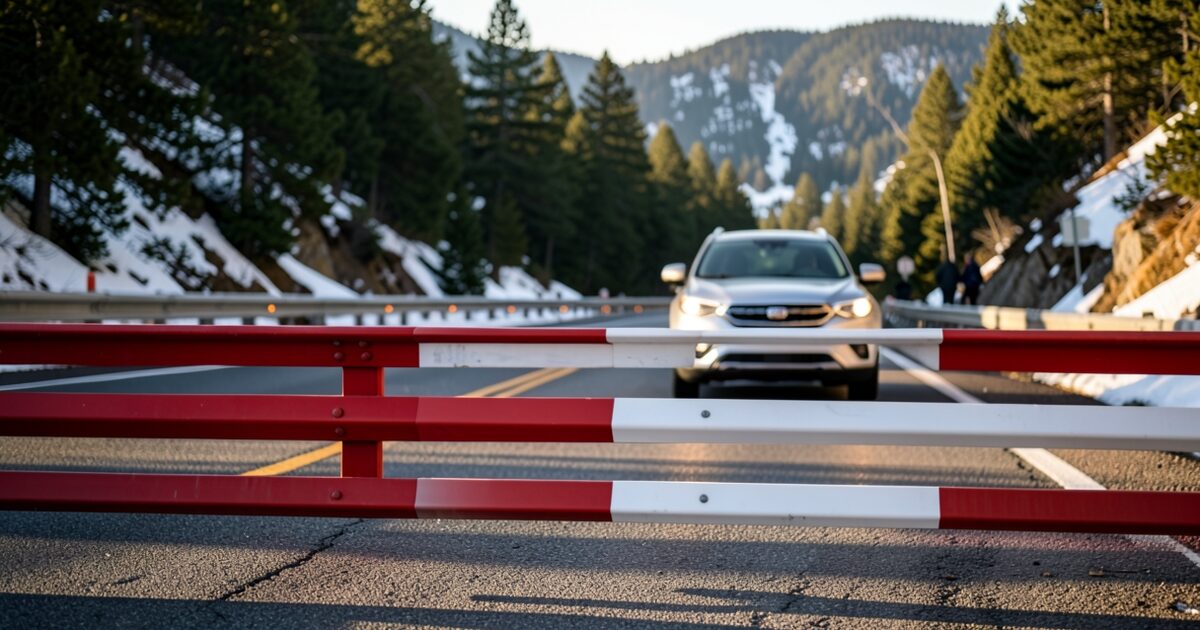
Arizona high country road closures work differently from a bad-weather slowdown. A closed highway is closed to every vehicle, so the decision happens before the car leaves the driveway. The practical job is to check the notice, check the live status on the day you travel, and set a second route before you need one.
What the ADOT winter closure notice covers
ADOT describes these closures as an annual step. The agency says snow and ice make the routes difficult to maintain and to drive safely during the winter months, so the state closes them on a fixed schedule. The notice also warns that an earlier snowfall or other extreme weather can close a highway before its listed date.
That warning matters for planning. The date on a closure notice is the scheduled closure, not a promise that the road stays open until then. A forecast of heavy snow for the high elevations can shut a route weeks ahead of schedule, and a trip planned for the week before the date can run into a gate.
The notice covers state highways. Forest roads, county roads, and private routes to cabins or trailheads may be managed by a different agency or by a landowner, so they are not covered by the same list. A driver who knows the mountain roads well should not assume a side road follows the same schedule as the state route it connects to.
Which Arizona high country roads close, and when
The 2026 notice lists five segments. The date listed for State Route 273 between Sunrise Park and Big Lake is December 31. A late-December trip to a cabin or a lake house on that corridor therefore needs a backup route from the start.
Last year's schedule, published in November 2025, shows the general pattern. It is not the 2026 list, but it helps drivers see how the closures are spread across the season:
- State Route 366 (Swift Trail), the upper stretch climbing Mount Graham, was scheduled to close November 15.
- State Route 473, between State Route 260 and Hawley Lake, was scheduled to close November 20.
- State Route 67, which runs south from US 89A at Jacob Lake toward the North Rim, was scheduled to close December 1.
- State Route 261, between Eagar and Big Lake, was scheduled to close December 31.
Use last year's dates only as a rough guide. The current ADOT notice is the authority for 2026 dates, and the dates can move when storms arrive early.
How to check an Arizona high country closure before you leave
A closure check takes about five minutes, and it works best in a fixed order. Start with the official source and end with the live road report, because the live report is the only one that shows what is closed right now.
- Read the ADOT closure notice and the agency's alerts page at azdot.gov to confirm which segments are on the list and the dates for each.
- Call 511 or open az511.gov for live status. The 511 system reports closures and conditions as they change, which a printed notice cannot do.
- Check the National Weather Service forecast for the high points on your route, not only the town where you start. Snow at 7,000 feet can close a road while the valley below stays dry.
- Compare each closure date on the list against your travel date. A closure date after your trip is still a risk if snow arrives early.
- Pick a fallback route before you leave, using state highways that are not on the list, and write down the mileage and the turnoff. A paper note is useful if your phone loses signal.
Preparing the car for a mountain detour
A detour through the high country puts more load on a car than a normal city commute. The road can be open, but the trip may include long climbs, cold temperatures, and stretches with no cell coverage. Check the vehicle before you leave, not at the first gate.
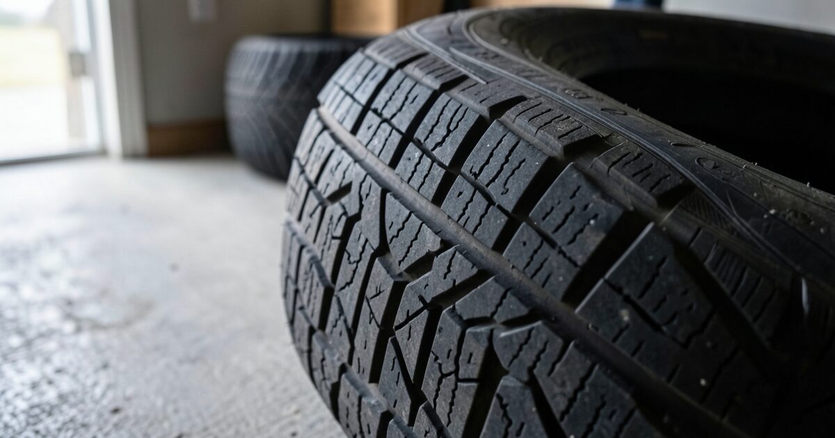
- Check tread depth and tire pressure on all four tires and the spare. Cold air lowers tire pressure, so check when the tires are cold.
- Fill the washer reservoir with a winter-rated fluid, because road spray and slush can cover the windshield on a climb.
- Carry water, a blanket, a flashlight, a phone charger, and a small shovel in the cargo area.
- Keep the fuel tank above half on long mountain legs, since a detour can add miles and a closed stretch can add idling time.
- Confirm the battery starts reliably in the cold before a long trip, especially if the car sits in a driveway overnight.
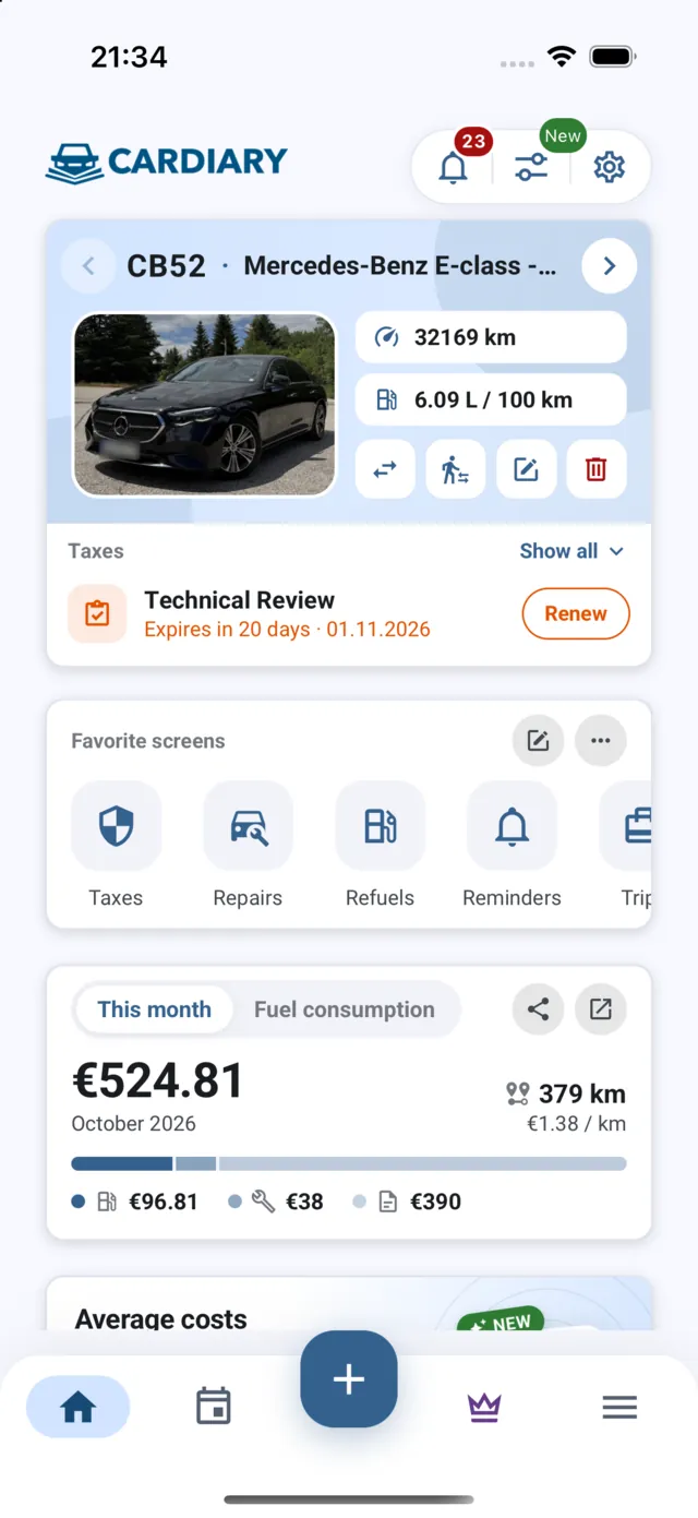
A service log in CarDiary is a simple place to record when the tires, battery, and fluids were last checked, so you can see the dates before a mountain trip instead of searching through receipts.
A worked example: a Phoenix driver heading to Big Lake
Consider a driver who leaves Phoenix on a Friday in late December in a 2019 Subaru Outback, heading for a cabin near Big Lake. The most direct route uses State Route 273, which is on the ADOT list with a December 31 closure date. The trip falls inside the window where the segment may still be open or may already have closed, so the driver treats the route as uncertain.
At 6 a.m., the driver checks 511 and sees the segment open. The forecast, however, shows snow arriving at the high elevations by early afternoon. The driver chooses a longer route that stays on state highways outside the list, arrives later than planned, and avoids the chance of turning around at a closed barricade at dusk. The extra driving time costs less than a night spent waiting for a plow.
The car itself makes this kind of decision easier. The Outback has all-wheel drive, but that does not change the closure. A closed gate stops every vehicle, so the driver plans around the gate instead of relying on the drivetrain.
Mistakes drivers make at Arizona high country closures
The most common mistake is trusting the closure date instead of the live status. A notice says when a closure is scheduled, while the 511 report says what is closed this morning. Drivers who check only the notice can arrive at a road that closed a week early.
Another mistake is relying on a phone map. A map may show the route as a normal state highway without reflecting a same-day closure, so the map is only a guide to the route, not to whether the road is open. Pairing the map with 511 and the NWS forecast avoids that gap.
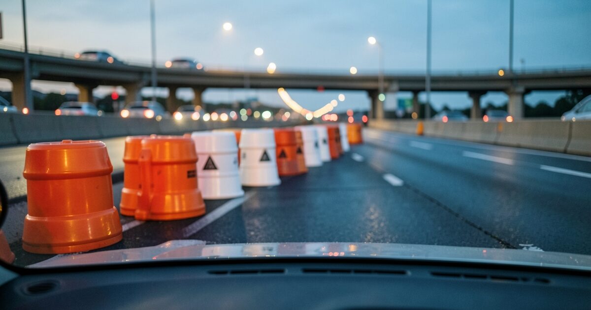
Drivers also wait too long to decide. Once a highway closes, the nearest turnaround may be many miles back, and a closed road can leave a car stuck in cold air with no signal. The safer habit is to make the route decision before leaving town and to revisit it at each major junction. Tire shops also fill up in the week before a holiday trip, so a worn tire should be replaced before the drive, not discovered at the trailhead.
Common questions about Arizona high country road closures
When do Arizona high country highways close for winter?
ADOT sets closures for each segment on a published schedule each year. The 2026 notice, dated November 9, 2026, lists five segments, and State Route 273 between Sunrise Park and Big Lake closes December 31. Closures can happen earlier if snow arrives early.
How do I check whether an Arizona highway is closed right now?
Call 511 or visit az511.gov for live road conditions and closures. Check the ADOT alerts page at azdot.gov as well for official notices.
Can a four-wheel-drive SUV drive around a closed highway?
No. A closure applies to every vehicle, and a closed gate or barricade means the road is closed regardless of drivetrain. Four-wheel drive helps on open roads with snow, but it does not change the closure.
Do I need chains for Arizona high country roads?
Traction requirements can change by route and by conditions. Check the current ADOT advisory before you leave, and do not assume that a route requires or does not require chains.